Climate
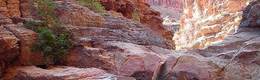
Dark Canyon waterfall and redbud tree
VISIONARY STRATEGIES
Ten Strategies for Climate Resilience on the Colorado River Basin
GRAPHICS
- Temperature and precipitation sites of Grand County
- Wind Map: USA
- Click here for a tool that shows wind direction worldwide
- Website - Community, Collaborative Rain, Hail & Snow Network (CoCoRahs)
TEMPERATURE, PRECIPITATION and SOIL DATA
- MESO (Sites can be expanded through features in left column)
- National Weather Service Forecast Center at Grand Junction
- NRCS SCAN (lower elevation) sites and data (Soil moisture and temperature as well as weather data)
- NRCS SNOTEL (higher elevation) sites and data (Snow-water equivalent, precipitation and temperature)
- Monthly Precipitation
- Regional eavporation rate is 57 inches per year
Real-time local weather
- Big Indian Valley
- Canyonlands Air Field
- La Sal
- La Sal Mountains
- Moab/Spanish Valley
- Porcupine Canyon
Meteorological Portal
- MesoWest. University of Utah.
NATIONAL OCEANIC AND ATMOSPHERIC ADMINISTRATION
US DROUGHT PORTAL
WESTERN REGIONAL CLIMATE CENTER
WESTERN WATER ASSESSMENT